

Latest News
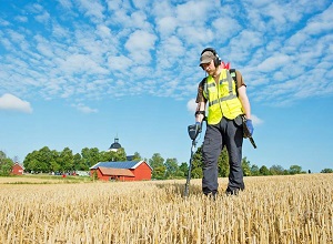
How Geophysical Methods Support Sustainable Groundwater Management
Groundwater is under pressure from climate change, urban expansion, and agricultural demand. Sustainable management requires understanding not only how much water exists, but also how it flows and how vulnerable aquifers are to contamination. While drilling provides direct information, the cost and limited coverage make it unsuitable as the primary…
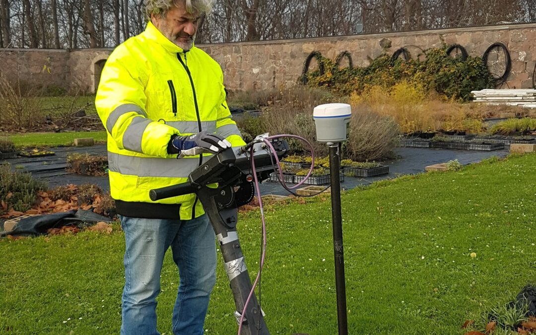
Ground-Penetrating Radar: What It Can (and Cannot) Detect
Ground-Penetrating Radar (GPR) transmits electromagnetic pulses into the ground and records reflections from subsurface boundaries. These reflections are governed by contrasts in dielectric permittivity, which vary between materials such as soil, rock, metal, and concrete. When GPR works extremely well GPR is ideal for high-resolution imaging in dry, resistive ground…
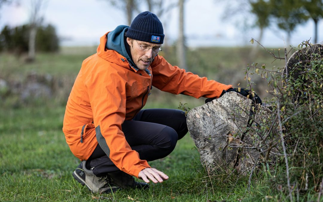
How Near-Surface Geophysics Reveals What Traditional Methods Miss
Near-surface investigations are no longer limited to trial pits and drilling. Over the past two decades, geophysics has reshaped how engineers, planners, and archaeologists understand the subsurface. Instead of isolated samples, geophysical surveys provide continuous lateral coverage, offering a far more detailed picture of soil layers, bedrock, voids, utilities, and…