

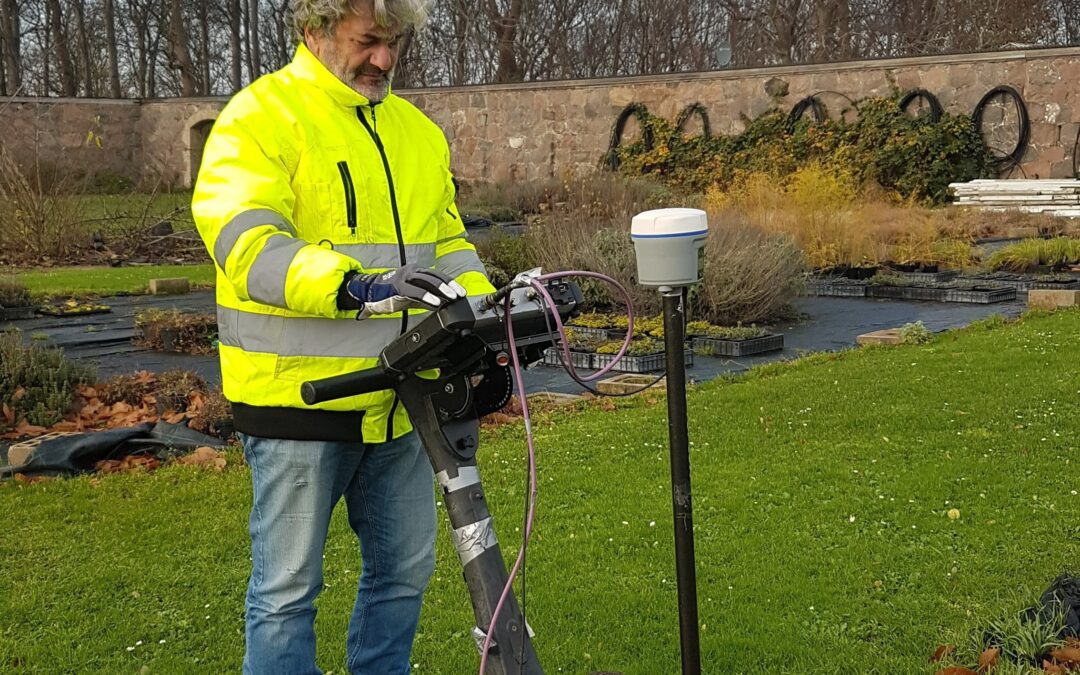
Ground-Penetrating Radar (GPR) transmits electromagnetic pulses into the ground and records reflections from subsurface boundaries. These reflections are governed by contrasts in dielectric permittivity, which vary between materials such as soil, rock, metal, and concrete.
When GPR works extremely well
GPR is ideal for high-resolution imaging in dry, resistive ground conditions. Typical successful applications include:
-
Locating metal and non-metallic utilities
-
Mapping rebar, tendons, and voids in concrete
-
Detecting shallow archaeological structures
-
Pavement thickness measurements
-
Identifying buried foundations and rubble zones
In these contexts, GPR provides centimeter-level detail and fast coverage.
When GPR struggles
GPR performance drops sharply in:
-
Wet clays
-
Salt-contaminated soils
-
Environments with strong signal attenuation
In these conditions, electromagnetic energy is lost quickly, producing shallow penetration and noisy data.
Common misconceptions
Myth: “GPR can detect anything underground.”
Reality: GPR detects contrasts — not specific materials. Proper interpretation requires experience, calibration, and often supporting methods.
Complementary techniques
When GPR is unsuitable, tools such as:
-
Electrical resistivity tomography (ERT) for groundwater and clay mapping
-
EM induction for conductivity mapping
-
Seismic refraction for depth-to-bedrock
…provide better results.
Using a combination of methods often produces the most reliable subsurface model.
Recent Comments